The Old Farmer’s Almanac has, for many years, been a support of the American Farmland Trust. The organization is one I’ve also had a personal interest in because of my work with the L.M. Montgomery Land Trust — we’re essentially in the same business, albeit at a vastly different scale.

Today I got an email from a staffer at the Farmland Trust in reaction to a post about an interactive foliage map I made last August; in the post I described how we’d taken the best of DIY MapServer maps and the Google Maps API to make a cool slippy map with some custom data layers.

At the Farmland Trust they have oodles of data about farmland loss in the USA. Data that, while useful, is locked up inside tiny JPEG images and PDF files. In other words, they’ve got data that would make a lot of sense to apply some MapServer/Google Maps mojo to. So my man at the Farmland Trust asked around. And someone sent him to my blog and the post.

Ironically, he knew neither that Yankee was the sister publication to The Old Farmer’s Almanac, nor of my involvement with the Land Trust. But in that funny way that sometimes connects exactly the right problems to the right solutions, we got connected.

🗓️

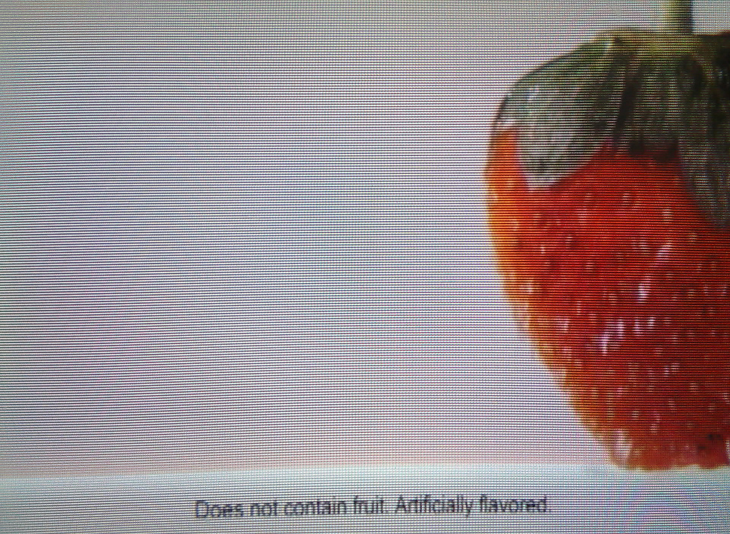
A still from a television ad currently running for Metamucil:

Truth in Advertising

The bulk of the ad shows pieces of luscious fruit raining down the screen. However the actual product contains no fruit. Truth in advertising?

🗓️

Moscow Drug Club (MP3) by the late BB Gabor. Where the reds play the blues. From WFMU.

🗓️
BB Gabor  •  Music

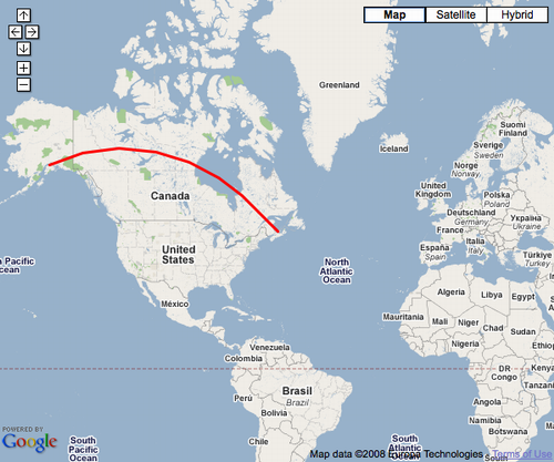
Someone came up to me in a coffee shop yesterday and told me they had a web application in which they wanted to connect two locations on a Google Map with a line. Not a regular straight line, but rather a curved “great circle” line. I mumbled about various possible approaches to this — setting up a custom tile-server and generating lines on the back end, etc. — only to find that this functionality is already build into the Google Maps API:

var polyOptions = {geodesic:true};
var polyline = new GPolyline([
  new GLatLng(61.1699849, -149.944496),
  new GLatLng(46.2361, -63.13)
  ], "#ff0000", 3, 1, polyOptions);
map.addOverlay(polyline);

Add an overlay like this — the key is the geodesic:true — and you go from straight line to curvy one. This is well-documented in the Google Maps API documentation.

Great Circle Line in Google Maps Screen Shot
🗓️
GIS  •  Google Maps

Nokia Sports Tracker is a nifty application from Nokia itself that you can use to track your workouts. As I have never, technically, had a workout before, this seemed like a good opportunity to leverage my geekliness with a dab of fitness. So now that spring has sprung, I ripped my bicycle from the back mud room and took the long way to work, stopping at Friendly Pharmacy to check out the nascent Uberloo.

The GPS was running and the Sports Tracker application was tracking over the entire grueling 2.4 km, and you can see the result online.

🗓️
Charlottetown  •  GPS  •  Nokia N95

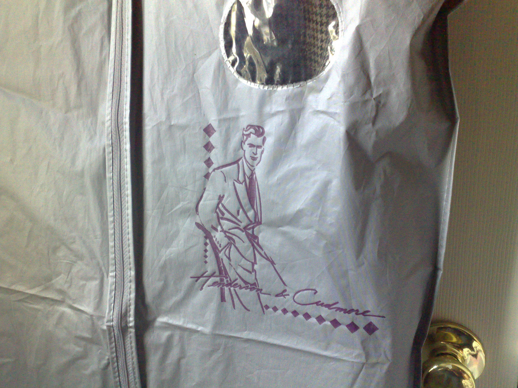
I obviously don’t update my wardrobe very often:

How old is my suit jacket?
🗓️

Johnny and I drove down from PEI to New Hampshire over Tuesday and Wednesday. The weather was beautiful, and I was glad to have Johnny along, as the hours went by much more quickly with our witty aphorism-trading filling the air.

This being a rare road trip for me — I prefer to emit my carbon higher in the atmosphere for maximum deleterious effect — it was a good time to take the GPS features of my new Nokia N95 out for a ride. Not only does the phone have an internal GPS, but its Nokia Maps application purports to be a reasonable approximation of a in-car navigation system.

Things didn’t exactly go well.

First, it’s obvious that Nokia Maps, although it will run without an Internet connection (it has a basic set of street maps built-in), is relatively useless without one: it’s rare that you don’t know that you’re on the I95 going south (which is on the default maps) — when you need help is when you pull off the road in Fredericton looking for a place to eat lunch. Which is where you need the street-level maps that the application needs to pull from the network. Without them, we were left with our GPS location represented on a vague outline of Fredericton; more distracting and frustrating than useful.

After lunch at Ponderosa we used the city-wide free wifi to load up a route from Fredericton to the Maine border at Houlton. This worked well and quickly, and the man in the machine accurately guided us onto the highway north (“turn left in 300m” and so on). Unfortunately something caused the phone to reboot itself after about 20 minutes, and once it rebooted the route was lost and, without a network connection, we couldn’t re-establish it.

Stopping in Houlton we found free wifi at the tourist information centre, but all attempts to plot a route from Houlton to the door of our hotel in Waterville failed with a “no route” error. Sigh. So we had to rely on our wits (and Maine’s excellent highway signage) to guide us in.

The next morning we needed to stop at the Target store in Augusta on our way south. Although Nokia Maps couldn’t find the location with its address search, I found it in Google Maps and created a Plaze, and magically teleported it into the phone as a landmark. And then let the navigation begin.

Things started off well, as we got routed off the highway, told when to turn where, and seemed to be in a likely Target-holding neighbourhood. But then the phone told us to turn left down an unlikely residential street, and we decided to overrule it. But then, when Target didn’t rise out of the mists, we stopped and asked a man sweeping up a parking lot (we dubbed him “The Old Prospector”) where Target was. Because of his prospector-like demeanor, I became immediately afraid of him and so when he said things like “you know where the Kennebec Journal office is?” I would say “yep.” So when we were done with him we were as lost as we ever were.

I pulled a U-turn, and decided to put faith back in the GPS. We took the originally designated turn, drove into the residential area, and about a mile later the friendly robot GPS man said “you have arrived at your destination.” Except that we were in front of a bunch of 20 young children playing outside a home-daycare operation. They did not appear to have any Michael Graves-deigned tea kettles on offer.

After 10 more minutes of bemused wandering, we stopped at a tire store and got more helpful directions, albeit ones that included the phrase “go through the roundabout, then, as if your brakes were failing, roll on down the hill.” But they worked, and we found Target. On the other side of town.

This particular failure was really more a Google Maps failure than a Nokia Maps failure: this is where Google things Target is and it’s actually way over here. So our GPS got us to the right place, it just wasn’t the right place.

At this point, we quietly put the GPS and Nokia Maps to sleep for a while. Of course this may have contributed to our dipping well into Massachusetts on our way to southern New Hampshire (after an ill-conceived dodge off the highway that let us through Haverill on on the 495 south). But at least we were able to recover from that by navigating on our wits alone (as soon as I93 appeared I knew where we were).

As it stands, Johnny may have lost all faith in Nokia Maps as an aid to better living. I’m still willing to suspend my disbelief, but only because I have confidence that, with tenacity, any piece of technology can be wrenched to do what you want.

In the meantime, we may end up in Florida en route back to PEI on Friday.

🗓️
GPS  •  Maine  •  Nokia N95
Counter-advertising
🗓️
Advertising  •  CBC  •  Radio

The lads from upstairs and I have begun to assemble the horses for the next incarnation of Zap Your PRAM, our quinquennial fall conference about stuff that we find interesting.

This time we’re taking over the Dalvay-by-the-Sea on the Island’s north shore, and the conference is a sort of north-shore nerdy Sandals — albeit with less “romping about” — with accommodations, meals and conference fee all rolled into one.

As with last time, we’re struggling with the tensions between our “exclusive by-invitation-only” impulses and our “hey, come on up and hang out” impulses. Ultimately we’ve decided that Zap is more like a 3-day dinner party than it is like breakfast in bed for 400,000, and so that’s the way we’re playing it.

Best case scenario, we get a hearty brew of interesting minds, and all the people who should be there, for whatever reason, end up there. Worst case scenario, we end up eating foie gras in a chilly mansion for three days wondering what the hell happened. And so it goes without saying that if you read about ZAP and it feels like it’s for you, you should tell us immediately.

🗓️
This bookmarklet has been updated since this post.

Here’s a bookmarklet that makes it easy to turn Plazes into Nokia Maps landmarks. First, drag this link onto your browser toolbar:

Next, visit the page of a Plaze. Here’s the one for my office, for example. Now click the “Make Landmark” bookmark on your toolbar: after a brief pause you’ll be prompted to save a file.

Save this file and copy it to your Nokia Maps-enabled mobile, and open it. You’ll now be able to save the location and details of the Plaze as a landmark, which you can then use just like any other landmark in Nokia Maps. I’ve prepared a brief how-to screencast that illustrates all the steps:

🗓️
GPS  •  Maps  •  Plazes

About This Blog

Photo of Peter RukavinaI am . I am a writer, letterpress printer, and a curious person.

To learn more about me, read my /now, look at my bio, listen to audio I’ve posted, read presentations and speeches I’ve written, see things I’ve favourited elsewhere, or get in touch (peter@rukavina.net is the quickest way).

I have been writing here since May 1999: you can explore the 25+ years of blog posts in the archive.

You can subscribe to an RSS feed of posts, an RSS feed of comments, an RSS feed of favourites elsewhere, or a podcast RSS feed that just contains audio posts. You can also receive a daily digests of posts by email. I also publish an OPML blogroll.

InstagramYouTubeVimeoORCIDOpenStreetMapInternet ArchivePEI.artDrupalGithub.