
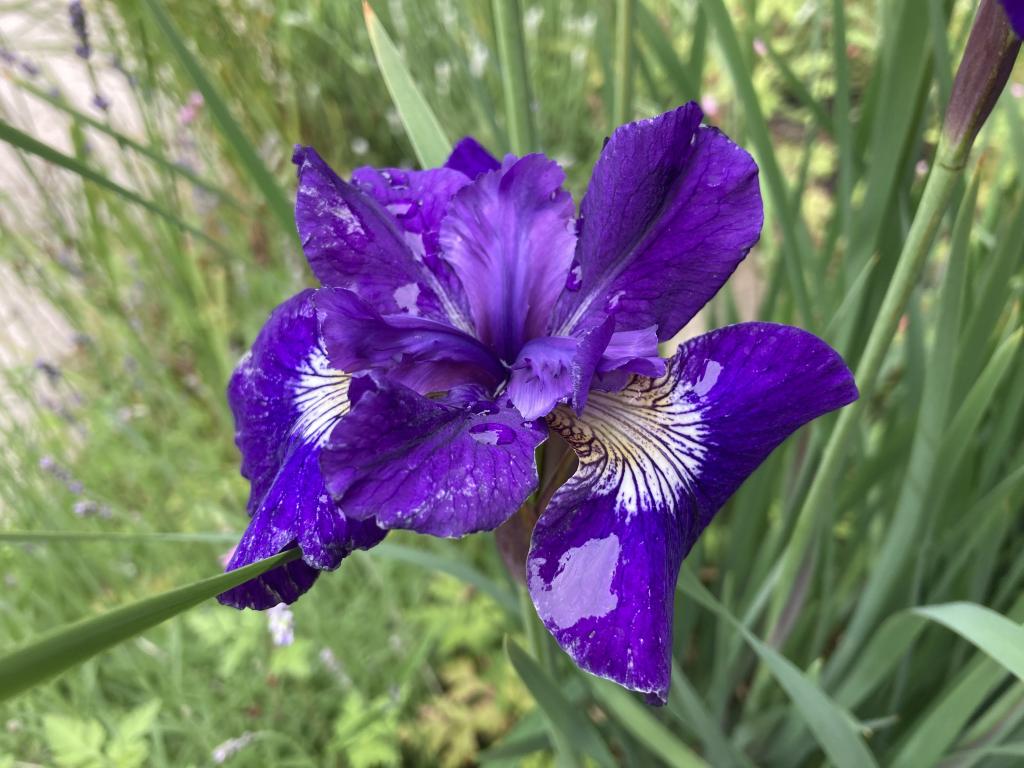
Olivia and I undertook our most ambitious cycle journey yet, cycling from our house, across the Hillsborough Bridge, and into deepest Stratford to have supper at the Fox Meadow golf club. Return trip was about 12 km, and, despite the steep grade up Kinlock Road to Fox Meadow, we cycled there and back with no problems.
Well, no cycling problems.
As we were arriving at the golf club a party was leaving the restaurant and one of the men made a sexist, transphobic comment to Olivia. Which happened to be her first since she came out.
He was probably a little drunk, and golf clubs are not known as beacons of enlightenment, but sexism and transphobia are wrong. Period. No matter the state of the asshole, no matter the venue.
Our supper—lacklustre food, excellent service, great view—was thus taken up with a survey course in discrimination, with Olivia doing most of the talking.
Fortunately, on the cycle home (after stopping at Sobeys for the first strawberries of the year), we overheard the musical stylings of Todd E. MacLean at The Lucky Bean, doing a benefit for Blooming House.
So, of course, we stopped, made a donation (you can too!), enjoyed some cocoa and Sinatra, and appreciated extra-especially the pride flag flying out front.
Thanks to the indefatigable Ken Murnaghan, the Island’s greatest advocate for bicycle helmet wearing, Olivia and I enjoyed two Truckin’ Roll ice creams this afternoon.
If Ken spots you wearing yours, maybe he’ll surprise you with an ice cream too. Way better than a carrot!

 ,
, 
Joe Biel’s The Autism Relationships Handbook arrived in the mail today from Microcosm Publishing. Beyond being a very helpful book for understanding relationships of many sorts, it’s so refreshing to read a book about autism written “we” not “they.”
From the first chapter I particularly appreciated the notion of relational labor:
Some people are born with certain inherent privileges based on their identity and appearance. Normally this privilege is simply because these groups comprise either a majority of the population or that people like them hold all of the power in society. Lots of other marginalized populations—nonwhite people, queer and transgender people, women, individuals with disabilities both visible and invisible—face exponential discrimination, insensitive remarks, and expectations to do more emotional labor in order to be treated as an equal. The struggles of being autistic aren’t the same as other marginalized groups, but those of us who are neurodiverse are doing extra relational labor on a daily basis. Respect the work that you do. It’s exhausting to be different in a world that you demands that either conform or set yourself off on an ice floe. You are a badass. Similarly, understanding that other marginalized people are experiencing similar mistreatment can be important to consider and respect.
The Workers Compensation Board has a tender out for investigation services:
The successful applicant(s) will provide investigation and surveillance services upon the request of the Board. This may include, but is not limited to: general surveillance, video surveillance, photographs, sworn statements, record searches, internet searches and reporting.
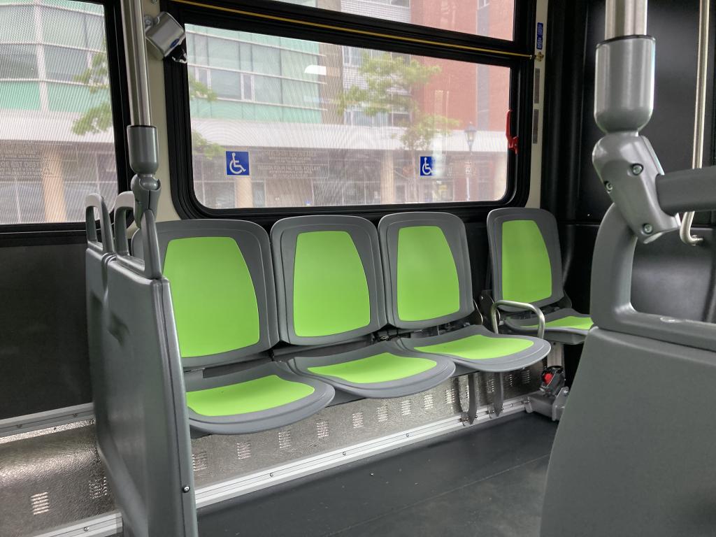
It’s been more than 18 months since I used public transit: the exigencies, followed by actual COVID, followed by perceived COVID, kept me away. But I needed to get from downtown to midtown this afternoon in a hurry, and so on the bus it was.
Two developments since my last ride: a comfortable, beautiful, spacious, brand new bus, and the ability to use the Hotspot Parking app to buy my bus ticket. Both appreciated.
There were only two other people on the bus with me, and everyone was masked, so I felt comfortable. It was good to be back.
 ,
, 

Really the only downside to cycling to get groceries at the Allen Street Sobeys is the hill climb from my house to the crest of Upper Prince Street. As arduous cycling goes, it ain’t no Andean trek. But it’s a hill. And on a hot tired day, maybe that’s enough to be too much.
I thought I could play an end run around gravity tonight by sneakily cycling over the bridge to the Stratford Sobeys, benefiting both from the absence of the hill climb and from the delights of the “Extra” in that location.
‘Twas not meant to be, alas: I couldn’t figure out why the cycling was so sloggy-going on the way there. I was pulling a trailer, yes, but even with allowances there was a molasses quality to the ride.
It was only when I turned around and essentially coasted all the way home, and then consulted a topographic map, that I realized that Sobeys in Stratford is at 23 meters above sea level while the crest of the Upper Prince hill is only 17 metres. So Stratford Sobeys is atop a higher mountain.
Even that, and that it’s twice the distance from home, the Stratford Sobeys has one killer feature for the cyclist: almost all the route there is on dedicated cycle lanes (Hillsborough Bridge, MacKinnon Drive) or on streets with a marked cycleway (Water Street), whereas the ride up to Allen Street is a relative hellscape of parked cars backing up, squeezing through the needle of Upper Prince, and a tricky turn onto Allen Street.
We’ve got some work to do.
About This Blog
 I am Peter Rukavina and this is my blog. I am a writer, letterpress printer, and a curious person.
To learn more about me, read my /now, look at my bio, listen to audio I’ve posted, read presentations and speeches I’ve written, or get in touch (peter@rukavina.net is the quickest way).
You can subscribe to an RSS feed of posts, an RSS feed of comments, or a podcast RSS feed that just contains audio posts. You can also receive a daily digests of posts by email.