
Here’s an comparison of the maps of Crapaud in Google Maps and OpenStreetMap.
OpenStreetMap

Google Maps

Here’s a a more detailed view of the centre of Crapaud:
OpenStreetMap

Google Maps

How I Made This
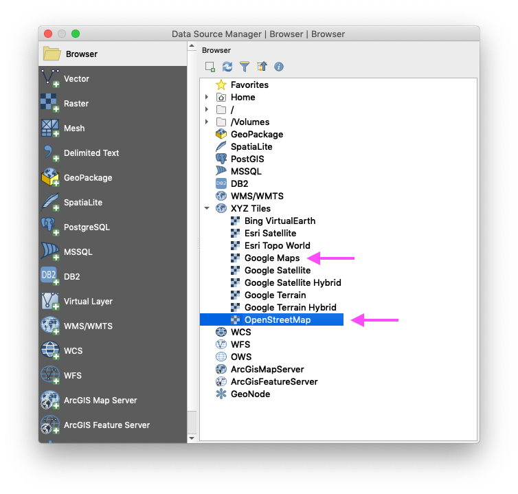
In QGIS I created a new map, and then, under Layer > Data Source Manager > Browser, I added the OpenStreetMap layer and the Google Maps layer:
Toggling one off and one on, and the switeching, I made equal-sized screen shots of Crapaud and saved them as PNG files.

Comments