
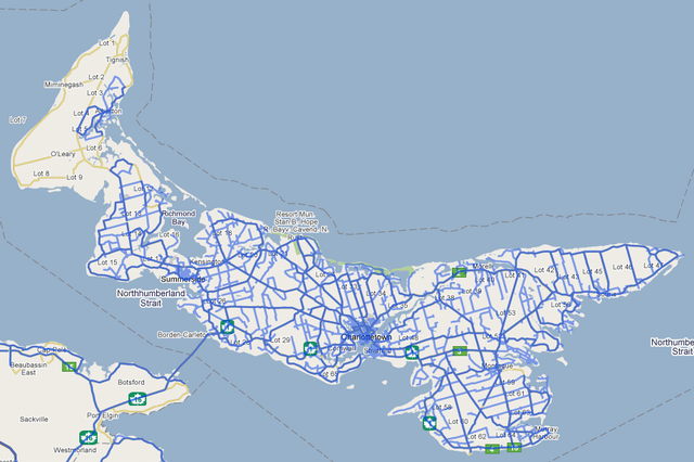
It’s all over the ‘net this morning here on Prince Edward Island that Google has finally turned on the Street View images on Google Maps that they shot last summer. There seems to be coverage of almost the entire Island, except for West Prince, which was left out for some reason (blue roads on the map are Street View-enabled):
What sets Prince Edward Island apart from, well, the rest of the world, is that there is some truly stunning imagery in their collection:
The Google Car’s tour of downtown Charlottetown seems to have happened on a particular resplendent summer day, and our house at 100 Prince Street is captured in all its glory, complete with Catherine’s gardens in full bloom.
About This Blog
 I am Peter Rukavina and this is my blog. I am a writer, letterpress printer, and a curious person.
To learn more about me, read my /now, look at my bio, listen to audio I’ve posted, read presentations and speeches I’ve written, see things I’ve favourited elsewhere, or get in touch (peter@rukavina.net is the quickest way).
I have been writing here since May 1999: you can explore the 25+ years of blog posts in the archive.
![]() You can subscribe to an RSS feed of posts, an RSS feed of comments, an RSS feed of favourites elsewhere, or a podcast RSS feed that just contains audio posts. You can also receive a daily digests of posts by email. I also publish an OPML blogroll.
You can subscribe to an RSS feed of posts, an RSS feed of comments, an RSS feed of favourites elsewhere, or a podcast RSS feed that just contains audio posts. You can also receive a daily digests of posts by email. I also publish an OPML blogroll.
Instagram • YouTube • Vimeo • ORCID • OpenStreetMap • Internet Archive • PEI.art • Drupal • Github.
Comments
Hi PeterWhen I linked to your
Hi Peter
When I linked to your Stanhope reference I was reminded of the errors that are in the mapping Google Maps uses for Stanhope. Not that Gookle is alone in this error - Microsoft uses the same source for their mapping data and so did the Provimce until recently. The Maps of the penninsula contain “roads” that are actually unexercised or lapsed rights of way.The map shows Allie’s Lane connecting with three roads running at right angles to it, Old Sam Road connecting to Seaman’s Lane and Rupert’s Road branching to enter the National Park to the left and run a distance to the right. The roads are undeveloped rights of way and do not actually connect as mapped. The errors are repeated on Bing maps and geotracking devices that use the same mapping layers.
I started reporting this error in the mapping system to the Province several years ago after an ambulance call to Old Sam went astray. It was reported that the driver was using a geotracking device to locate the call. The Province recently made changes to it’s online mapping that correct the problem. But who do you complain to for the rest of the world and how they view our little penninsula?
Add new comment