
It’s been a while since I spent any time editing OpenStreetMap for Charlottetown, and the tools available for making edits have evolved considerably in the interim. So today I spent some time tweaking and enhancing the city; you can see the work in progress here:
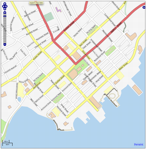
If you’re interesting in community mapping and you haven’t taken a look at OpenStreetMap lately, I suggest you return to the fold.
About This Blog
 I am Peter Rukavina and this is my blog. I am a writer, letterpress printer, and a curious person.
To learn more about me, read my /now, look at my bio, listen to audio I’ve posted, read presentations and speeches I’ve written, see things I’ve favourited elsewhere, or get in touch (peter@rukavina.net is the quickest way).
I have been writing here since May 1999: you can explore the 25+ years of blog posts in the archive.
![]() You can subscribe to an RSS feed of posts, an RSS feed of comments, an RSS feed of favourites elsewhere, or a podcast RSS feed that just contains audio posts. You can also receive a daily digests of posts by email. I also publish an OPML blogroll.
You can subscribe to an RSS feed of posts, an RSS feed of comments, an RSS feed of favourites elsewhere, or a podcast RSS feed that just contains audio posts. You can also receive a daily digests of posts by email. I also publish an OPML blogroll.
Instagram • YouTube • Vimeo • ORCID • OpenStreetMap • Internet Archive • PEI.art • Drupal • Github.
Comments
OSM is a great resource and I
OSM is a great resource and I’m interested in doing more in Charlottetown and the surrounding area. Need to get out on my bike, need a good GPS first.
You can do lots for
You can do lots for OpenStreetMap without ever leaving your house: the web-based editor at OpenStreetMap.com allows you to trace buildings, roads, etc. over Yahoo satellite maps (there’s an arrangement with Yahoo that makes provisions for this copyright-wise).
Add new comment