
News just in on the wire that National Road Network 2.0 has been released. For the uninitiated, the NRN is:
…the representation of a continuous accurate centerline for all non-restricted use roads in Canada (5 meters or more in width, drivable and no barriers denying access) to which will be added a set of basic attributes, street name, place name and block face address ranges.
In non-map-geek terms this means a high-quality royalty-free digital road map of Canada.
For anyone interested in GIS, map-hacking and similar pursuits, the NRN is an amazing dataset. That it’s made freely available for any use is a dramatic departure from usual practice with government data in Canada, where we usually have to pay for data that is, by all rights, already “ours.”
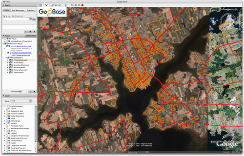
Locally here in Prince Edward Island, Dan MacDonald and his team at the Department of Transportation and Public Works deserve the credit for leading the PEI contribution to the project. What’s more, the PEI dataset is being used for the NRN 2.0 demo dataset and is available as a Google Earth-compatible KML file, which means that viewing the data is as easy as grabbing a single file and loading it into Google Earth:

Comments
Most Canadian provinces and the federal government have been offering free GIS data for several years now.