
TL;DR The Confederation Trail passes through 47 (of 67) township lots and 2 (of 3) royalties on Prince Edward Island.
I demonstrated the WhatsMyLot.com open web app this morning at a media launch for a “Walk-a-Lot” project, and I met a public servant who works with the Confederation Trail afterwards. As we chatted it occured to me to wonder how many Samuel Holland Township Lots the Confederation Trail passes through. And so I decided to try to find out.
To start I grabbed the cleaned-up and corrected Township Lots GIS layer as a Shapefile and the Confederation Trail Inventory GIS layer as a Shapefile.
I loaded both into QGIS, an open source GIS application.
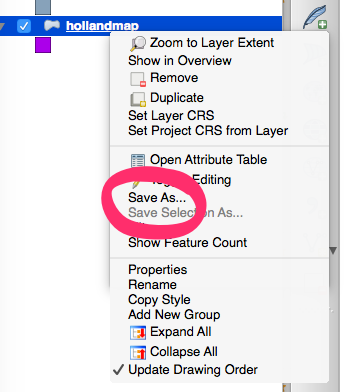
Before I went any further I had to change the coordinate reference system (CRS) on the Township Lots layer to match the Confederation Trail; I right-clicked on the layer in QGIS and selected Save As…
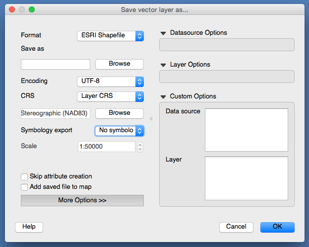
and then set the CRS field by clicking on Browse:
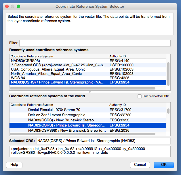
and selecting NAD83(CSRS) / Prince Edward Isl. Stereographic (NAD83) EPSG:2954:
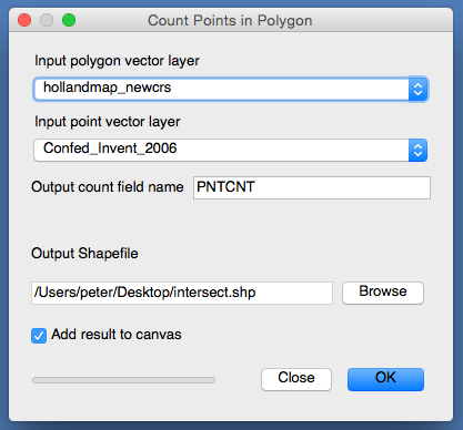
Finally, I selected Vector > Analysis Tools > Points in Polygon and selected the Township Lots map as the “polygon vector layer” and the “Confed_Invent_2006” layer as the “point vector layer”, and selected a new Shapefile – intersect.shp – to save the result in:
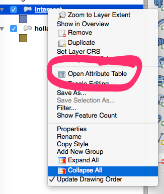
After 30 seconds or so, the new layer was added to the map; to see the results I right-clicked on the new layer and selected Open Attribute Table:
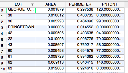
The “attribute table” looks like a spreadsheet, and in the PNTCNT column is a list of the number of Confederation Trail points that fall inside the given lot. For example, there are 123 points that fall inside Georgetown Royalty, and 99 points that fall inside Lot № 36, but no points at all inside Lot № 30:
Counting the lots and royalties with a PNTCNT value of more than zero told me the number of lots (47 of 67) and royalities (2 of 3) that the Confederation Trail passes through.
Note that the “Confederation Trail Inventory” layer that’s available from the province is 9 years out of date, and does not include the new spurs from Stratford to the east, so it’s likely that the true number of lots is closer to 50.
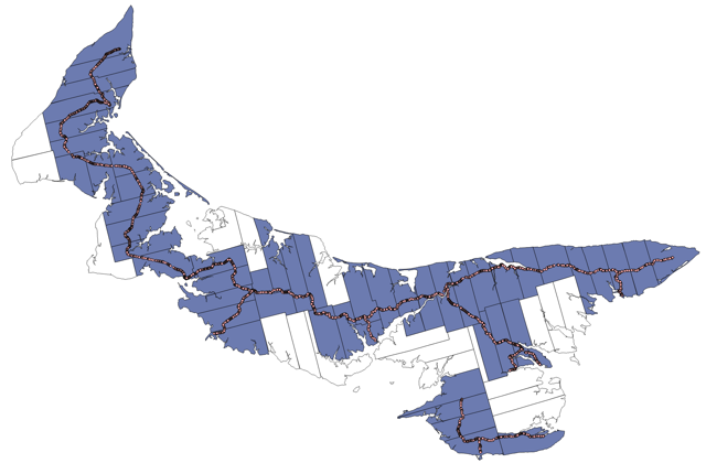
Here’s what the resulting map of Prince Edward Island looks like, with the lots and royalties through which the trail passes highlighted in blue:
About This Blog
 I am Peter Rukavina and this is my blog. I am a writer, letterpress printer, and a curious person.
To learn more about me, read my /now, look at my bio, listen to audio I’ve posted, read presentations and speeches I’ve written, see things I’ve favourited elsewhere, or get in touch (peter@rukavina.net is the quickest way).
I have been writing here since May 1999: you can explore the 25+ years of blog posts in the archive.
![]() You can subscribe to an RSS feed of posts, an RSS feed of comments, an RSS feed of favourites elsewhere, or a podcast RSS feed that just contains audio posts. You can also receive a daily digests of posts by email. I also publish an OPML blogroll.
You can subscribe to an RSS feed of posts, an RSS feed of comments, an RSS feed of favourites elsewhere, or a podcast RSS feed that just contains audio posts. You can also receive a daily digests of posts by email. I also publish an OPML blogroll.
Instagram • YouTube • Vimeo • ORCID • OpenStreetMap • Internet Archive • PEI.art • Drupal • Github.
Add new comment