
With Province House reopening this week after a long restoration, I thought it high time to improve the rendering of the building—and Queens Square around it—in OpenStreetMap, in three dimensions.
OpenStreetMap is not, at its heart, a 3D map, but it supports tagging buildings and other objects with information about the third dimension—height, roof shape, etc.—and there are experimental websites that will use these tags to render in 3D.
There’s a degree of unsatisfying hopeful magic to figuring this out, especially as different renderers render buildings differently.
Lately I’ve been using the Urban Eye 3D plugin for the JOSM OpenStreetMap editor to aid in the effort: it helpfully shows a real time 3D representation as I’m editing, which is lightyears ahead of the old-school “make edits, wait a long time for rendering engines to update, repeat” process.
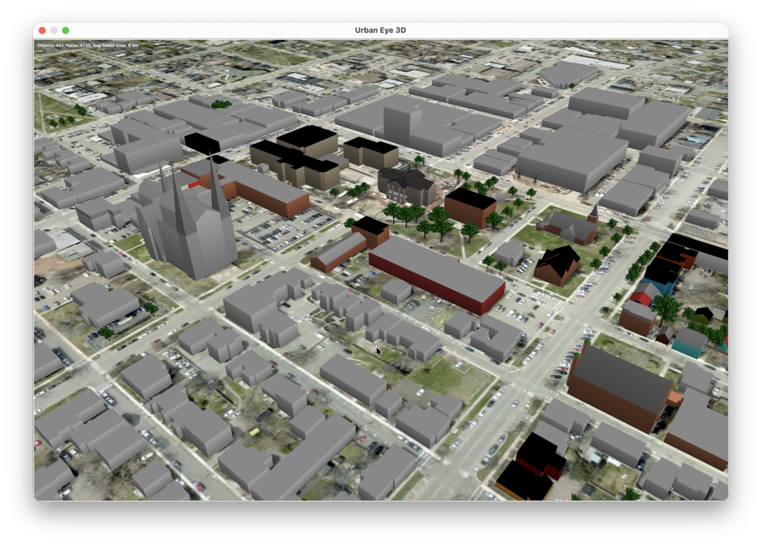
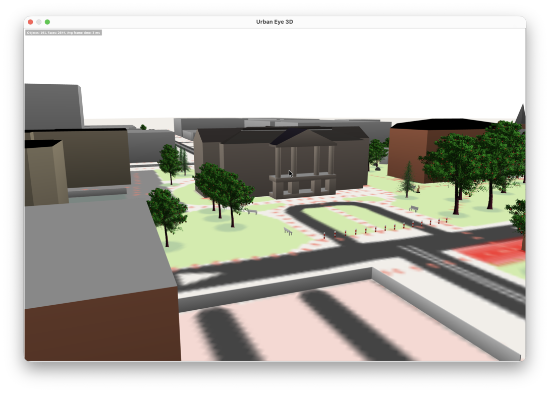
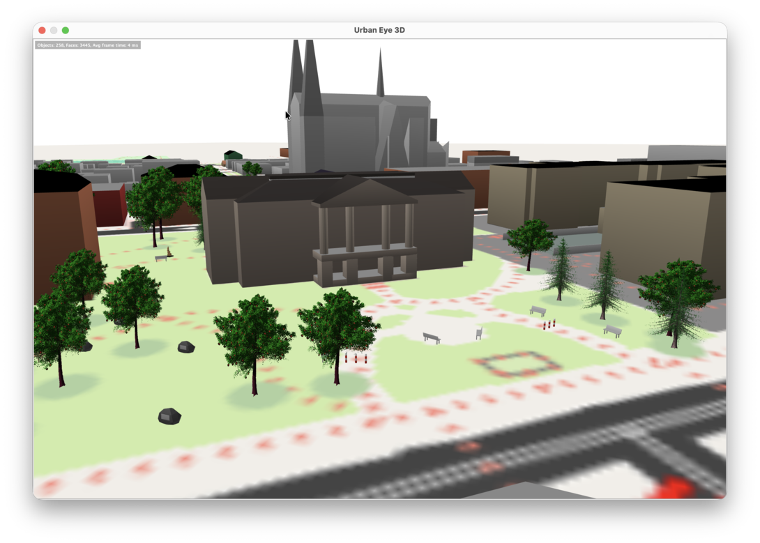
Here are some screenshots of Queens Square in the Urban Eye 3D viewer:
The editing is excellent exercise in really looking hard at buildings and their parts, not unlike using Tinkercad to make a model for a 3D printer.
Given that few people will actually ever see the 3D rendering, that’s its primary utility for me. I find it meditative.
Some places you might eventually see my updates show up in various degrees of 3D:
These sites are updated on an irregular basis, so it could take weeks for the latest changes to appear there.
 I am
I am  You can subscribe to an