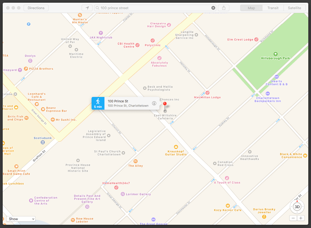
There was a long, long period after Apple Maps launched during which it showed Charlottetown Harbour to be land rather than water. And in my experience, it’s remained the perennial also-ran of the web-based mapping game: it never seems as accurate or up to date as Google or Bing or OpenStreetMap, its map styles hearken to a 2005 map aesthetic, and its satellite layer, at least for Prince Edward Island, looks like it was photographed through a sock. Oh, and it’s also not a web-based map at all: you can only use Apple Maps through its Mac or iOS applications.
True to this form, when I happened to check in on my house at 100 Prince Street this afternoon in Apple Maps I found that its location was identified as the home of the East Wiltshire Cafeteria. Which is odd, because East Wiltshire Intermediate School is located 9 km away. In East Wiltshire.
Granted, its address is 100 Kingston Road, which bears passing resemblance to 100 Prince Street as an address. But that hardly seems reason enough to conflate the two.
I’ve filed a problem report with Apple.

 I am
I am
Add new comment