
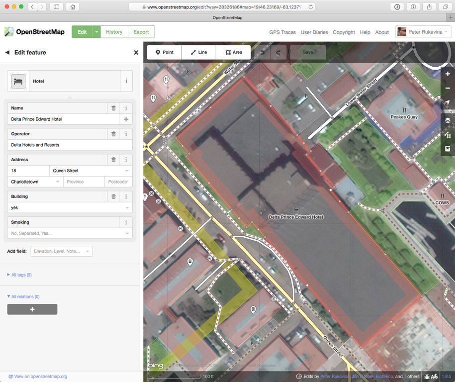
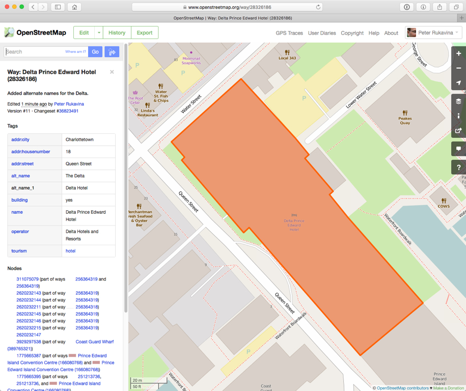
I’m hosting a Learn to OpenStreetMap table at the City of Charlottetown’s Inspired City event on February 4, 2016 from 7:00 p.m. to 10:00 p.m. at the Delta Prince Edward Hotel. It’s free, and everyone is welcome.
If you’d like to learn how to sign up for a free OpenStreetMap account, and how to use the simple web-based map editor to enhance the map of Charlottetown, please stop by. I’ll have a couple of laptops available for you to use, and lots of stories and map tips to share.
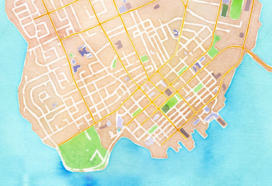
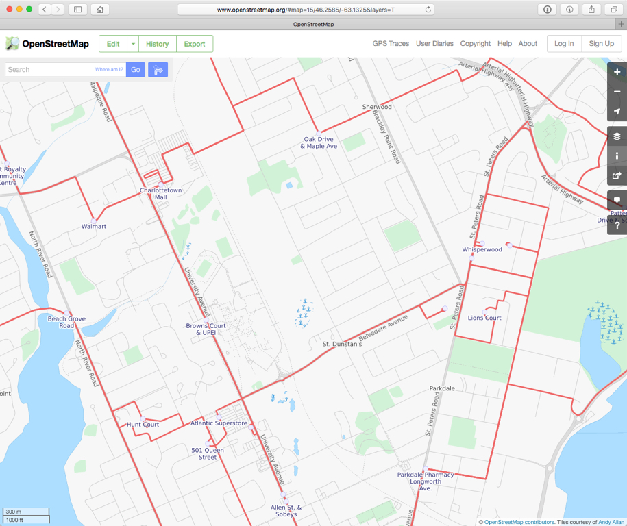
OpenStreetMap is a free, editable map of the whole world that is being built by volunteers largely from scratch and released with an open-content license.
The map of Charlottetown and area has been evolving over the 10 years that the OpenStreetMap project has been running, but there are still many areas of the city that could benefit from greater detail, and there are new horizons to explore — indoor mapping, 3D mapping, micromapping – that can keep us all busy for years.
You can edit OpenStreetMap from your own computer in your own home or office, and the editor is simple and well-documented enough that you don’t need a lot of experience to jump in right away.
Come and seek me out on February 4 at the Delta.
About This Blog
 I am Peter Rukavina and this is my blog. I am a writer, letterpress printer, and a curious person.
To learn more about me, read my /now, look at my bio, listen to audio I’ve posted, read presentations and speeches I’ve written, see things I’ve favourited elsewhere, or get in touch (peter@rukavina.net is the quickest way).
I have been writing here since May 1999: you can explore the 25+ years of blog posts in the archive.
![]() You can subscribe to an RSS feed of posts, an RSS feed of comments, an RSS feed of favourites elsewhere, or a podcast RSS feed that just contains audio posts. You can also receive a daily digests of posts by email. I also publish an OPML blogroll.
You can subscribe to an RSS feed of posts, an RSS feed of comments, an RSS feed of favourites elsewhere, or a podcast RSS feed that just contains audio posts. You can also receive a daily digests of posts by email. I also publish an OPML blogroll.
Instagram • YouTube • Vimeo • ORCID • OpenStreetMap • Internet Archive • PEI.art • Drupal • Github.
Comments
And The Bus Service.
And The Bus Service.
Add new comment