Download all public GIS layers for Prince Edward Island and use them in QGIS

Peter Rukavina

Back in 2011 I wrote a script to automate the scraping of the public GIS layers that the Province of Prince Edward Island makes available.

I’ve updated this script now–download it here–to handle the now blessedly simpler way the downloads work now (you don’t need to register to download any longer), and I’ve added the generation of a PyQGIS script that will automatically load all the downloaded layers into a QGIS project, ready for entertainment and delight.
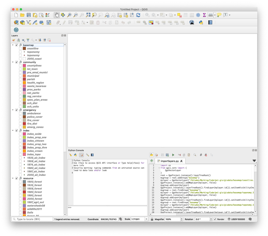
Screen shot of all of PEI's public GIS data layers in QGIS

Add new comment

Plain text

  • Allowed HTML tags: <b> <i> <em> <strong> <blockquote> <code> <ul> <ol> <li>
  • Lines and paragraphs break automatically.

About This Blog

Photo of Peter RukavinaI am . I am a writer, letterpress printer, and a curious person.

To learn more about me, read my /nowlook at my bio, listen to audio I’ve posted, read presentations and speeches I’ve written, or get in touch (peter@rukavina.net is the quickest way). 

I have been writing here since May 1999: you can explore the 25+ years of blog posts in the archive.

You can subscribe to an RSS feed of posts, an RSS feed of comments, or a podcast RSS feed that just contains audio posts. You can also receive a daily digests of posts by email.

Search