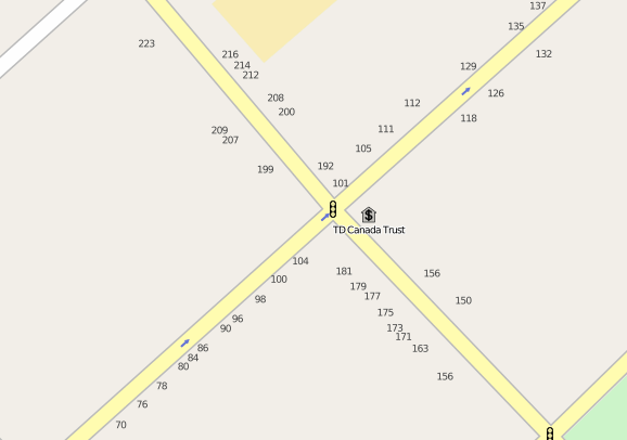
I’ve been running a little side-project this week, working to add street numbers to the OpenStreetMap of Charlottetown. I’ve been using the excellent little Windows Phone app MapStalt Mini (from Microsoft itself, oddly enough), which makes walking up and down the block entering street numbers really easy. My goal is to number all visible addresses from Euston Street to the water. I’m making good progress; here’s the corner of Queen and Kent:

It’s remarkable, given how useful street numbers are as an aid to potential customers (to say nothing of the fire, police and ambulance), how many buildings have no visible street number at all.
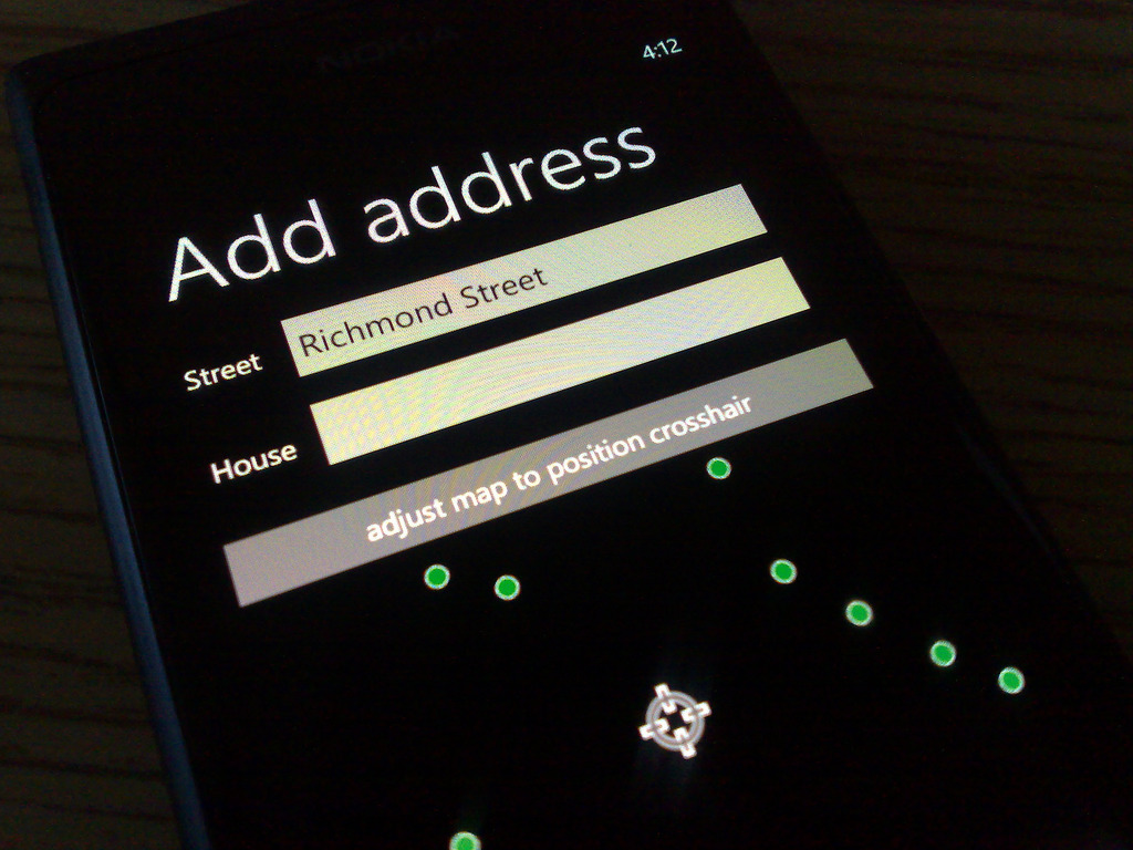
Here’s what the process of “address tagging” looks like in MapStalt Mini. The app auto-detects nearby streets from your geolocation, you select one, and then you just walk down the street stopping in front of every address typing in the house number (note to Microsoft: it would be nice if the keyboard presented for this was the numeric one rather than the alphanumeric one):

If you’d like to contribute to this effort yourself, and you have a GPS-enabled mobile device (there’s free software for iOS, Android, Blackberry and many other platforms).
The nice thing about a project like this is that the data you contribute become immediately useful and usable: here’s walking directions based on address data I captured yesterday afternoon; and the OpenStreetMap itself gets updated with address numbers less than 10 minutes after you add them.
 I am
I am
Comments
How does Westview Drive look
How does Westview Drive look now?
Just fine ;-)<img alt=”” src=
Just fine ;-)
<img alt=”” src=”http://media.ruk.ca/images//Op…” style=”width: 622px; height: 289px; “/>
To see the additions you’ve
To see the additions you’ve made in near-real-time (there seems to be about a 5 minute delay), go to OpenStreetMap.org, zoom in to your area of interest, click “Permalink” in the corner and then do a force-page-reload in your browser.
Add new comment