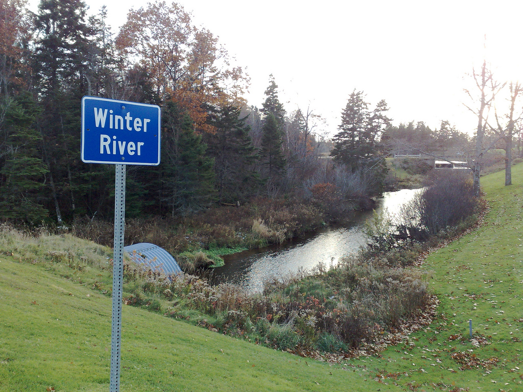
I took a tour of suburban Charlottetown yesterday and visited some of the water and sewer locations I mapped yesterday, taking photos as I went. You can see the results in Flickr and also on the updated Charlottetown Sewer and Water Map, where I’ve added photos to the sites I visited and fixed up their locations in situations where I’d got it wrong.

 I am
I am
Comments
Why are you doing this?
Why are you doing this?
Because I have become
Because I have become immersed in the book The Big Necessity: The Unmentionable World of Human Waste and Why It Matters<img src=”http://www.assoc-amazon.com/e/…” width=”1” height=”1” border=”0” alt=”” style=”border:none !important margin:0px !important;”/>.
I get interested in the
I get interested in the pursuit in that you are photographing general (as opposed to interesting) infrastructure. The question What does North America look like? is answered bit by bit.
And in the pursuit of general
And in the pursuit of general infrastructure you come across interesting things. Like the unusual nature trail that runs along a creek from the Elena Court sewer station. Or the huge East Royalty sewage lagoon that I’d never heard about. Or the sewage station at the corner of Dorchester and Cumberland that I’ve walked and driven by hundreds of times but never noticed.
Interesting to see this, er …
Interesting to see this, er … stream of enquiry. My uncle, like my grandfather before him, is a long-serving employee of the Severn Trent Water Company in the West Midlands of England. My grandfather managed the Cosford Waterworks for many years, a splendid Victorian edifice, with an equally splendid house and gardens attached. My sister and I would accompany him on his rounds during our childhood visits, and would stare enraptured at the incredible, gigantic machinery required to keep a densely-populated island (sound familiar?) supplied with drinkable water. There were photos in my grandfather’s office of the waterworks in wartime, covered with camoflage paint and anti-aircraft guns, and I have chilling memories of being present when the emergency communications systems were tested, with their blaring alarms and robotic recorded voices (this being the late 1970s and 1980s, the powers-that-be were foolishly preoccupied with trivialities like impending nuclear holocaust, blind to the fact that the real existential threat to our way of life — with all its wonders, like democracy and plumbing — came from a few hundred malcontents scattered across Central Asia and the Middle East, who would one day rise in their fury and kill nearly as many of us as a bad weekend in traffic. But I digress … ).
When I heard the phrase “essential infrastructure” many years later, it was these childhood visits that first popped to mind, along with the ongoing horror stories from my uncle of a post-Thatcherite, privatized water authority (my uncle is employed more at the “sewer” end of the business, so to speak, which gives his many tales of private-sector greed and incompetence let loose on an essential public service an added zing). Anyway, as worthy folk like Maud Barlow — and now Peter — remind us, we ignore this sort of thing at our peril.
Just go to city hall and ask
Just go to city hall and ask for a copy of a map of the distribution system. They give this to contractors, other utilities, etc. Google Earth lets you pinpoint some of the pumping stations. Also, a BIG transmission pipe crosses under the east/west runway at the airport at the top of Norwood Road too.
You should go and have a chat
You should go and have a chat with the guys at the Waste Treatment Plant on Riverside Drive. They are very knowledgeable on this subject and have some time on their hands at the moment.
(they are on strike)
(they are on strike)
Add new comment