The Province of Prince Edward Island has a large collection of “free” GIS data on its website (that’s “free” as in “you can use it if you agree to our crazy license terms” not free as in “go forth and live, fair data”).
To download any of the data files is a cumbersome process that requires agreeing to license terms and then entering your name, email address and occupation. All of which makes getting all of the data rather time-consuming.
Fortunately all the files are actually there, sitting unencumbered on a webserver waiting to be downloaded, so it’s relatively easy to scrape the free GIS data file lists (here and here), extrapolate the names of the data files, and then automatically download them.
That’s what this PHP code does for you: download it, configure, let it run and shortly you’ll have a few gigabytes of GIS data – everything from school board boundaries to walking trails to soils – sitting on your local machine ready for use (the script, by default, just grabs the ESRI Shapefiles).
Given the rather violent response to making public data, well, public, that the province has shown in past, I recommend you grab your data now, before this is made more difficult and cumbersome still.
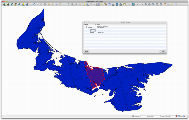
I recommend the free Quantum GIS application for manipulating the files once you have them: it reads Shapefiles natively and is quite feature-rich. Here’s a map of the parishes of Prince Edward Island inside Qgis, for example:

 I am
I am
Add new comment