
I mentioned here that, over the years, I’ve linked to 133 places on OpenStreetMap from the space.
I set out to find a way to see those all on a map together.
I started by pulled out the OpenStreetMap IDs from my blog posts, with a MySQL query:
SELECT DISTINCT
 REGEXP_SUBSTR(field_body_value, '(?<=openstreetmap\.org/node/)[0-9]+') AS node_id
FROM node__field_body
WHERE field_body_value LIKE '%openstreetmap.org/node/%';
I then took that list of IDs and fed it to to Overpass Turbo as a query:
[out:json][timeout:25];
// Query all specified OpenStreetMap node IDs
node(id:
 3635784842, 3685963653, 3993674129, 4035609636, 4219153895, 3964961857,
 4354449846, 4368123936, 4486042006, 4212707889, 4602261458, 3693372328,
 3968667591, 3958645088, 773014435, 3980190956, 4013819799, 5011996054,
 3969063933, 4038653569, 3158817668, 3964875104, 3969441406, 5169624992,
 3801233358, 4593194200, 3969441407, 3982594975, 4010401866, 5832876155,
 1708994432, 1309334554, 1036621453, 3969441408, 5838493293, 4426845996,
 1748034323, 6240463094, 3964847306, 6459062029, 4604411453, 6424079068,
 4944710421, 4782985721, 6573258632, 6568896351, 3933036111, 2147027795,
 2615087430, 6605643321, 6652045815, 2182448223, 2186517765, 6688182495,
 6605321137, 6764407623, 6605651269, 3980513109, 6835691382, 6685552004,
 10858023, 6927460722, 7033960414, 3980513108, 7049488908, 2186488338,
 7727257681, 6573258634, 7751869034, 7840152104, 7951258371, 8014027214,
 8032817159, 8040803229, 4038653574, 6918920793, 8873060974, 8934216741,
 8951491829, 8980628803, 9315988227, 3980228660, 3964958255, 284006122,
 5268968932, 10973805204, 11218571610, 3969063907, 2361760932, 5863968654,
 11954599648, 12007408941, 12073479082, 12302232891, 12606957600, 6388479600,
 8542055290, 12765929228, 10025847334, 292984586, 4059855982, 13131503728,
 13356191552, 6672707890, 13877687747, 13951901855, 2622719611, 2467594779,
 4267855005, 3283009692
);
// Output full feature metadata (coordinates & tags)
out body;
>;
out skel qt;
(You can copy and paste that query into Overpass Turbo yourself, or just click here to load it.)
I exported the result as a GPX file, which gives me the geolocation — the latitude and longitude — of every place I’ve linked to.
I then imported that into gpx.studio to let me see all the places on a map. Here are some screen shots at various zoom levels:
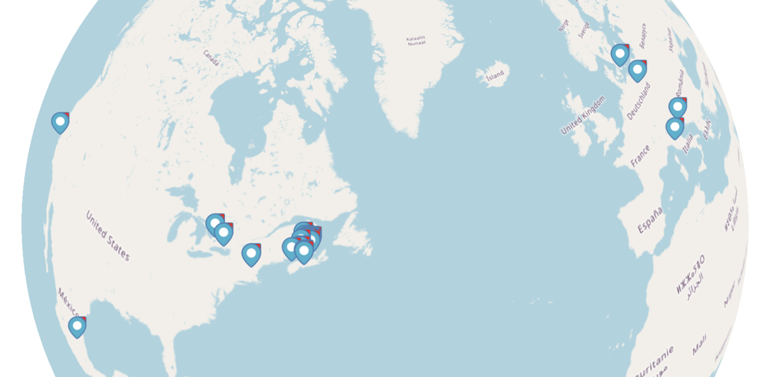
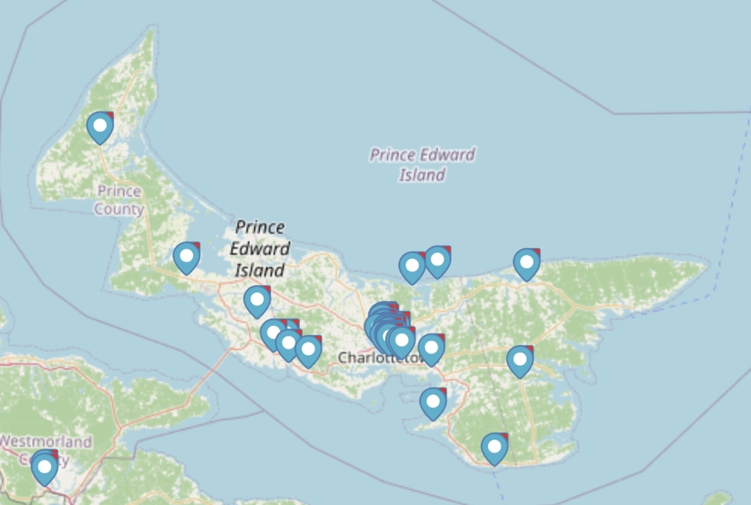
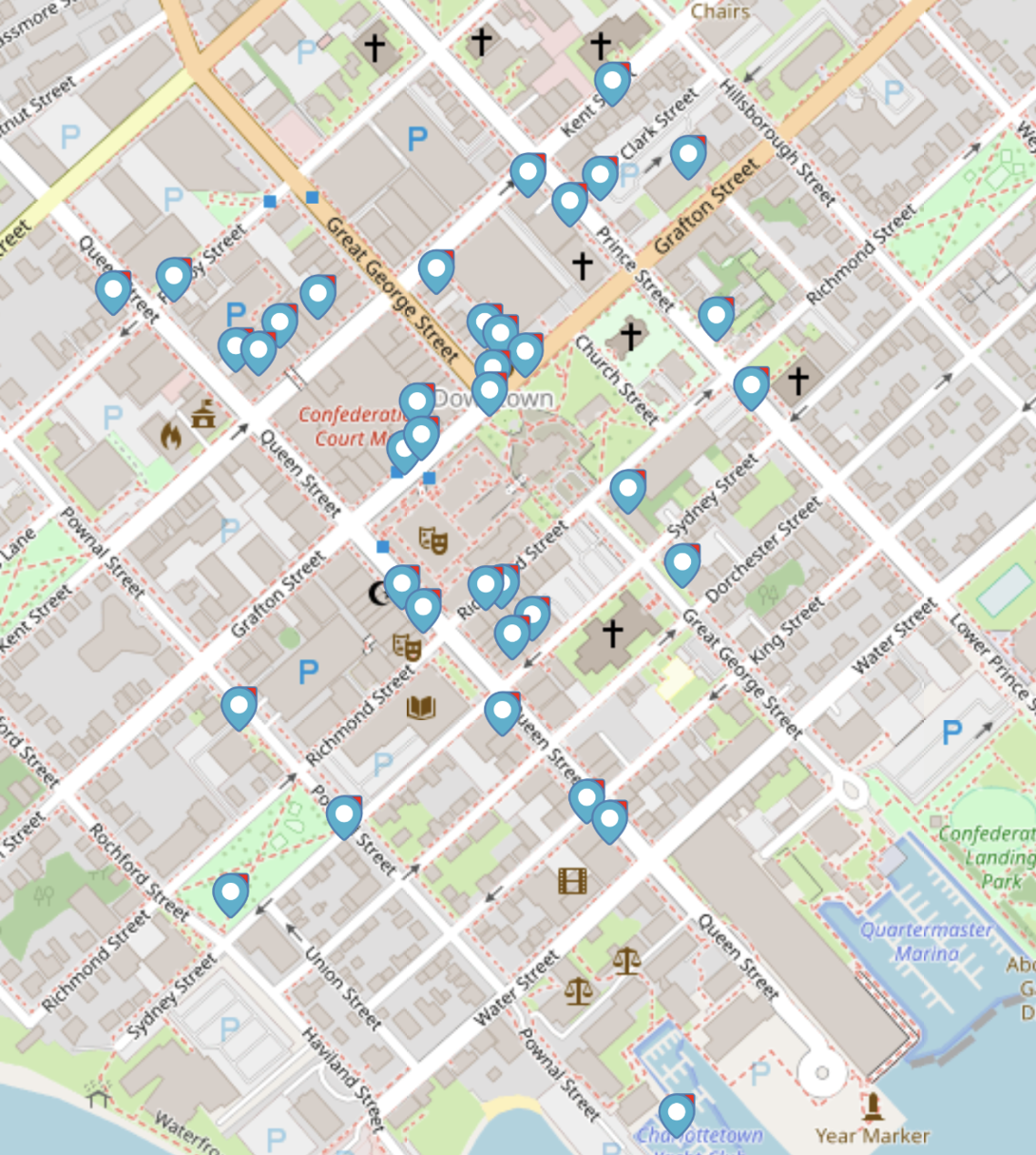
The next logical step would be to create a map interface for browsing my blog posts — a way to look through the other end of the telescope, so to speak.
 I am
I am  You can subscribe to an