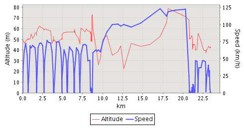
I took a trip out to Arken this afternoon — it’s a modern art gallery on the coast, just south of Copenhagen. I had my GPS running for the whole trip, and you can see the trip in Nokia Sports Tracker. The trip was 23km from door to door, and took just over 39 minutes. Here’s how the speed and altitude look on the Sports Tracker graph:

Here’s a bigger version of the same graph. The first 9 km of the trip were on the “F” line of the S-train from Bispebjerg to Ny Ellebjerg; I then got on the “E” line, which was express all the way to Ishøj (it reached 123 km/h at its fastest). At 21 km I got to Ishøj where I wandered around for a bit looking for the bus station, and then took Bus #128 out to Arken.
The altitude-measuring feature of the GPS on my Nokia N95 obviously aren’t bang-on all the time: there’s no way you could run a train on altitude hills like that.
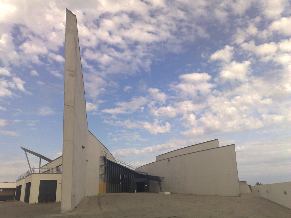
Here’s what came at the end of the trip:

 I am
I am
Add new comment